
GNSS precision
made simple.
Our U.S.-based GNSS and GIS engineering team possesses deep Esri integration and CAD knowledge to equip your crew with the subscription-free precision they need to capture data safely and accurately.
Trusted by Fortune 1000 companies, US Federal/State/Local government, Utilities and NGOs in all 50 US states and several countries.










The Skadi Series
Eos Skadi Series GNSS
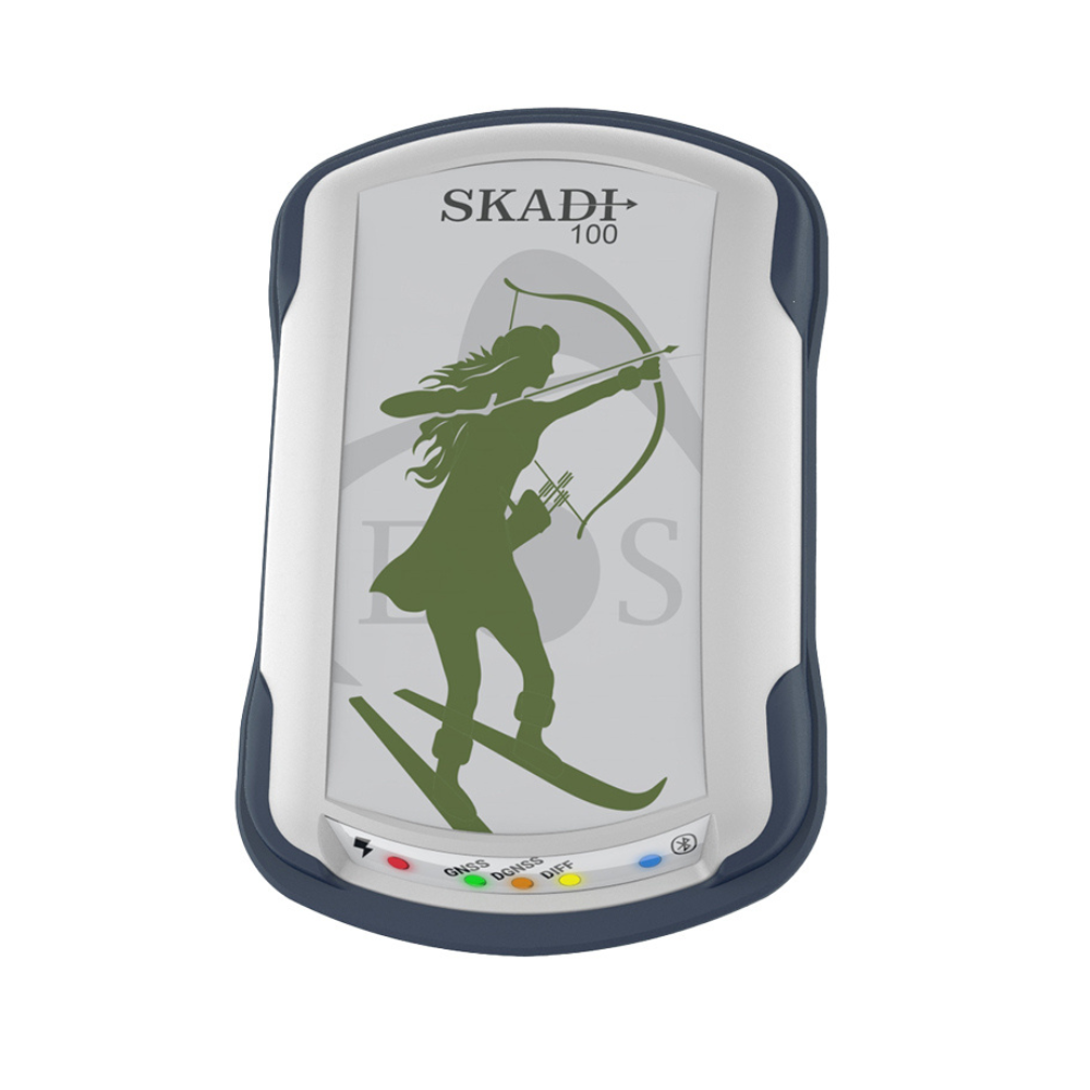
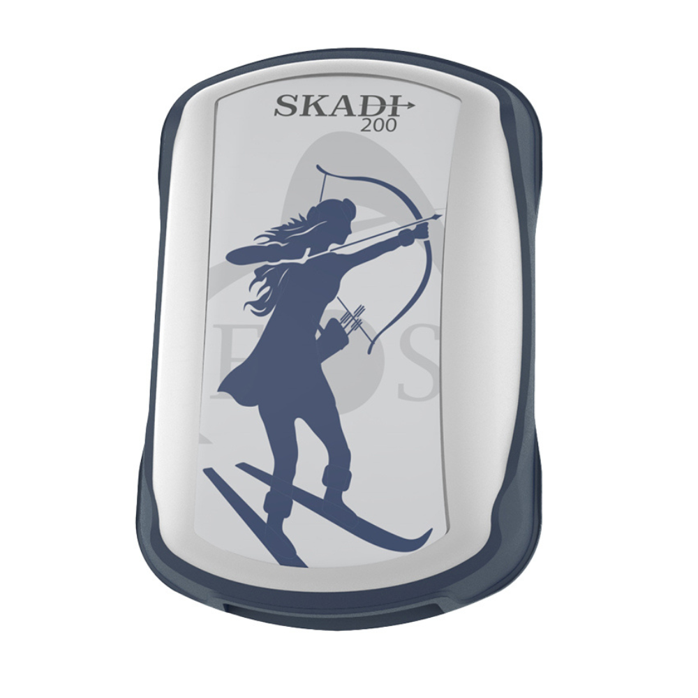
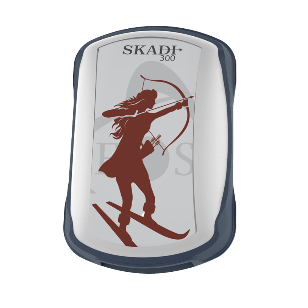
Every Skadi tracks GPS, GLONASS, Galileo and BeiDou, and pairs straight to iOS, Android or Windows. What changes across the range is how you get corrections — SBAS on every model, Atlas® L-band and SafeRTK® higher up, and free Galileo HAS on the Gold. Tilt Compensation and the Smart Handle are available on the RTK models.
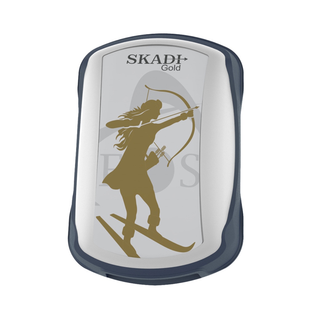
Skadi Gold + Smart Handle
Measure the point you cannot safely stand on. The Smart Handle laser offset
reaches up to 7 m (23 ft) — trenches, fence lines, busy roadways, over water.
360° view — Skadi Gold on the Smart Handle
Field demo — press play (sound on)
FastRTK by DMG
Own your RTK Infrastructure
RTK is a pillar of field data collection — too important to rent by the rover. FastRTK base stations, NTRIP software and managed networks let you run your own corrections at a flat annual cost, with unlimited rovers.
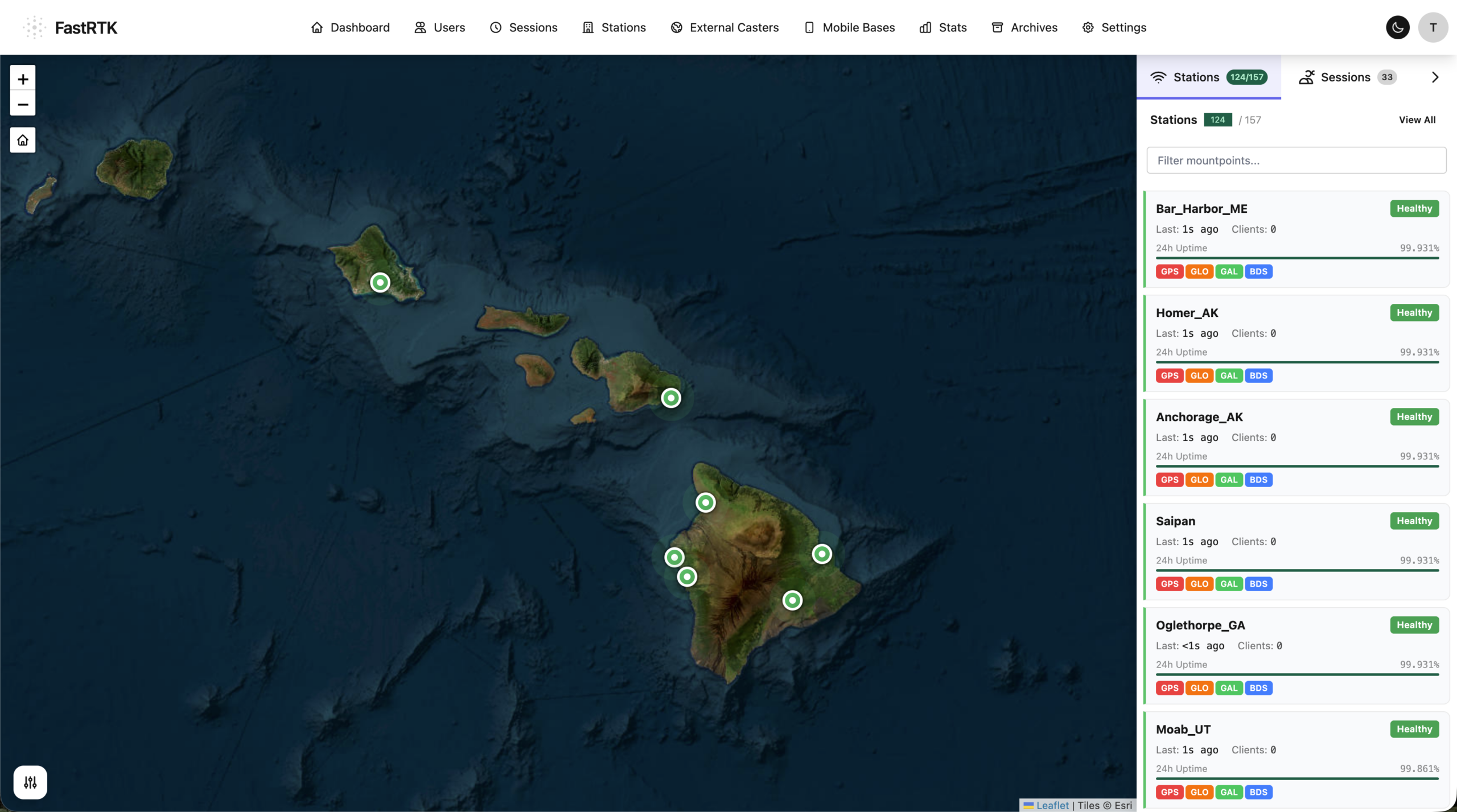
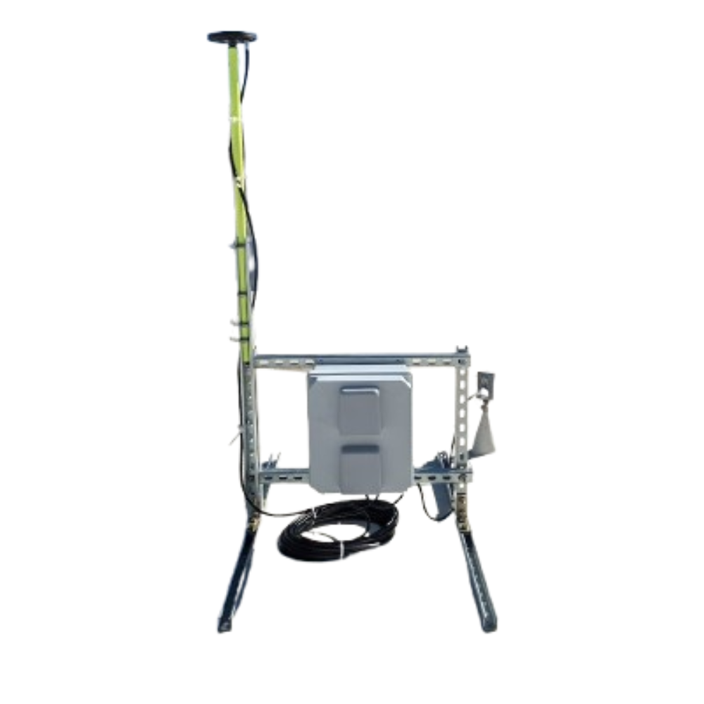
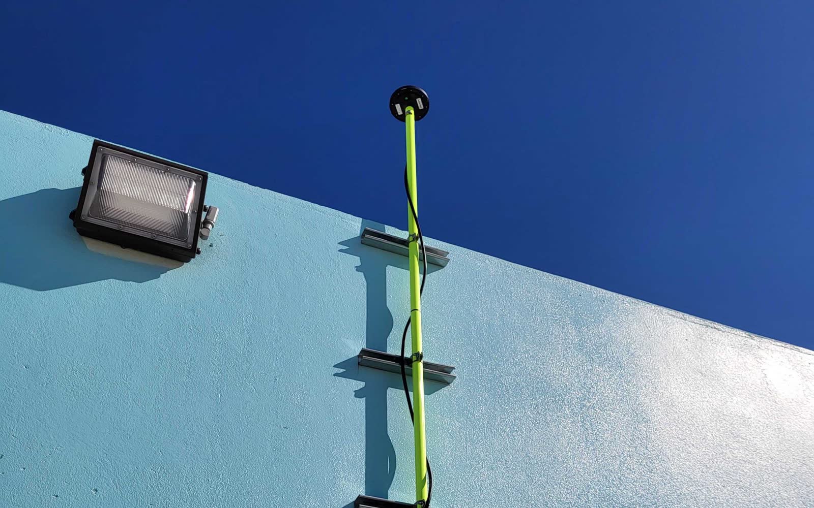
Permanent
CORS Station
- ±2 mm position stability
- All four constellations
- Networks that cannot go dark
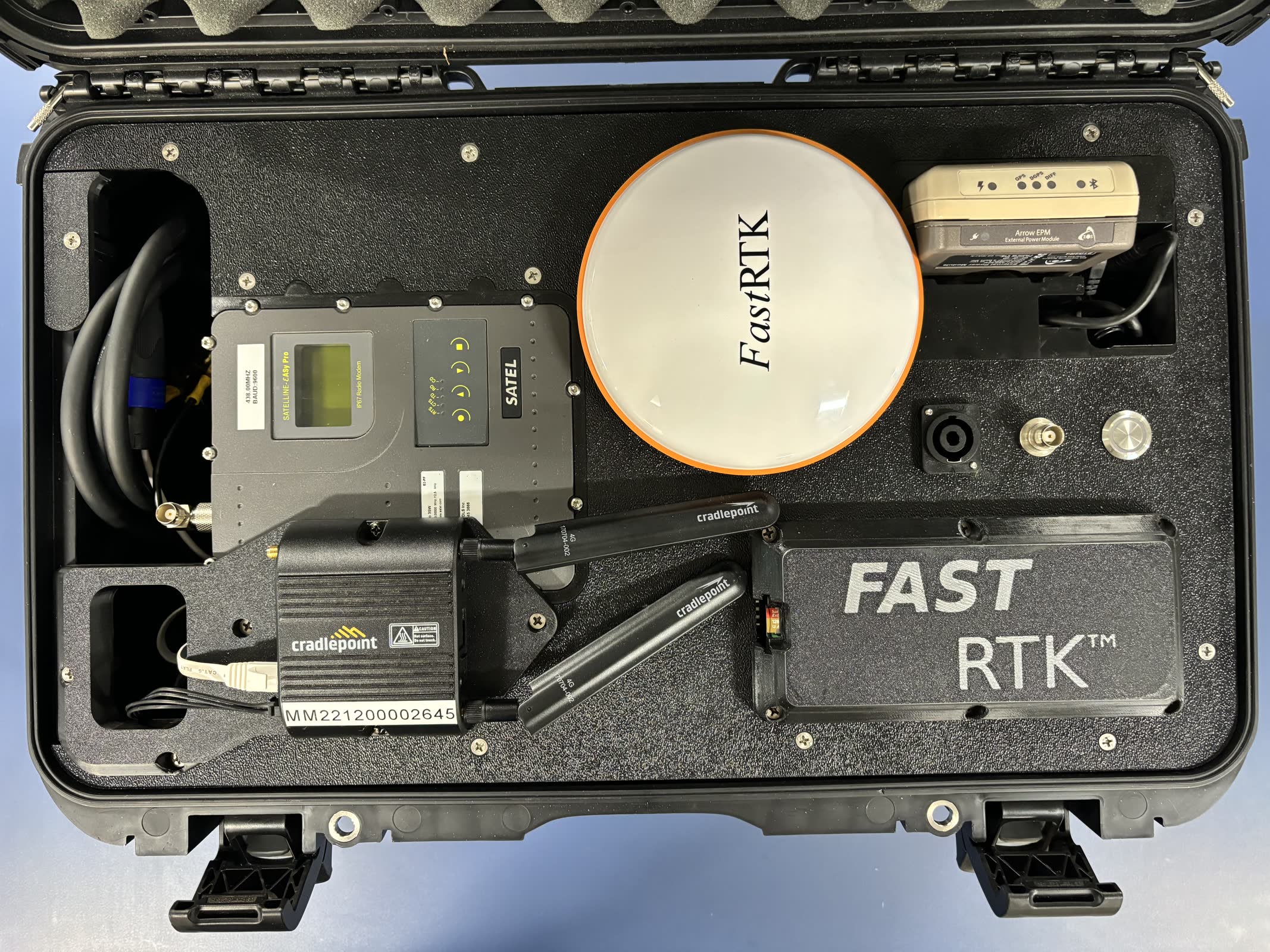
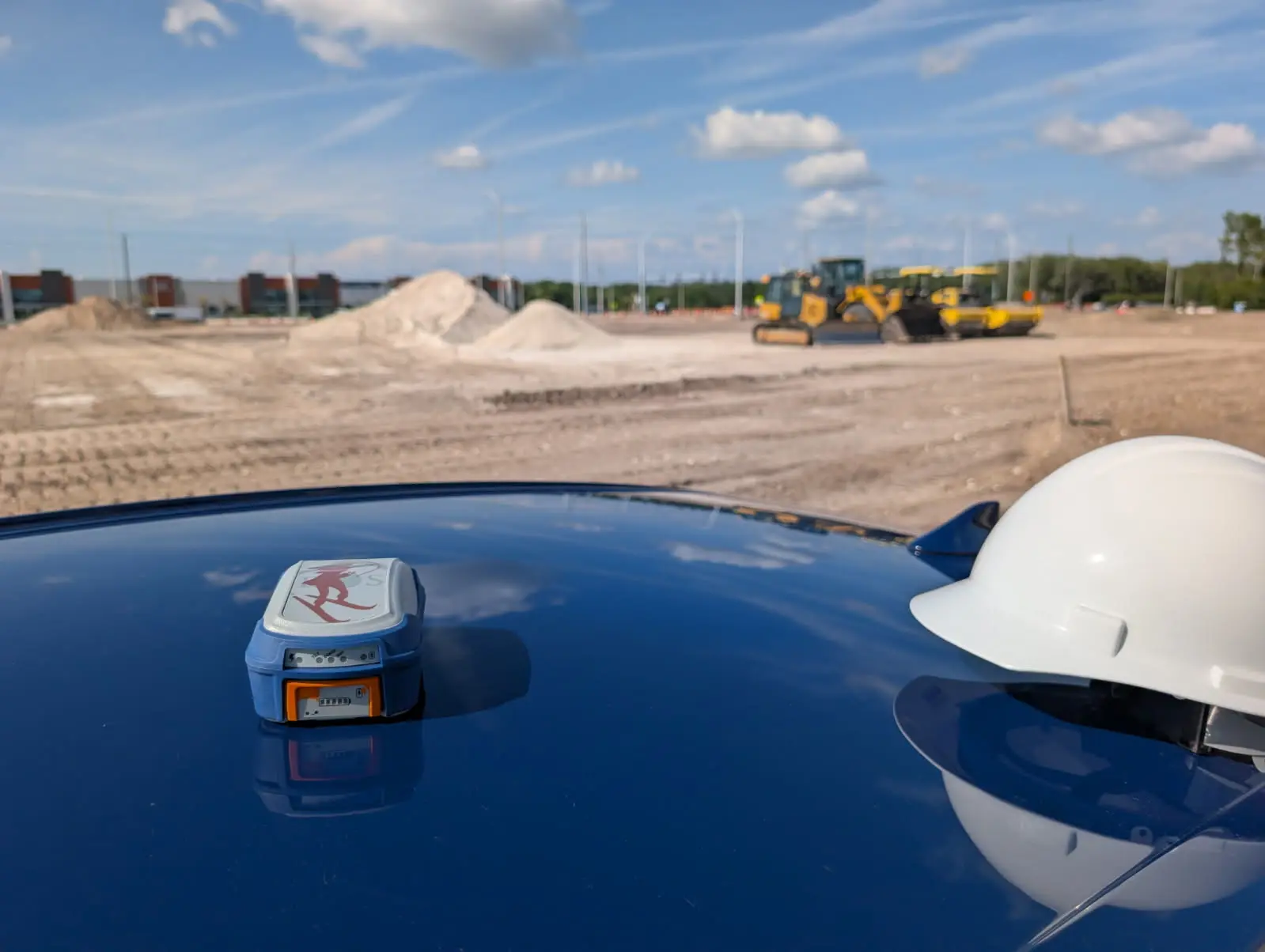
Field deployable
Mobile RTK Base
- Casting in under two minutes
- Self-surveying
- UHF, LTE or Wi-Fi NTRIP
Fully managed
Managed Services
- Cloud-hosted corrections
- 24/7/365 monitoring
- 15-minute critical SLA
On demand
FastRTK2Go
- Any rover becomes a base
- iOS and Android
- No fixed install
Customer stories
High Accuracy GNSS ProductivitY ON SITE
U.S. utilities, government agencies and field crews put our high-accuracy GNSS solutions to work.
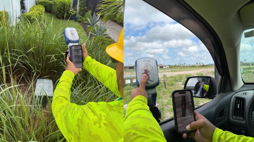 Electric Utility
NISC and High‑Accuracy GNSS: The Workflow Upgrade Powering LCEC’s Growth
By integrating NISC mobile with the Skadi Smart Handle, Lee County Electric Cooperative improved mapping precision, sped restoration, and scaled operations during growth.
Read the story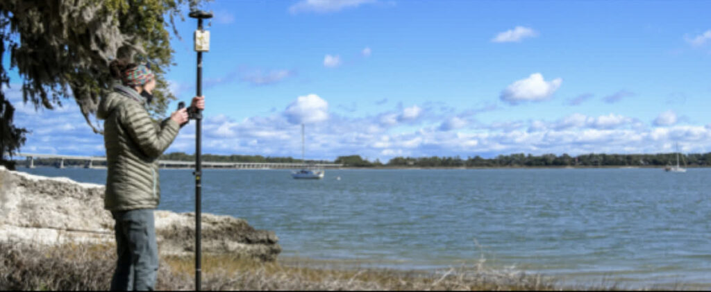 Archaeology
South Carolina DNR
Racing the tide to record what is left
Edisto Island has lost three quarters of a mile of shoreline in 70 years. Students now map artifacts to submetre accuracy in real time — and refocus the dig mid-season when the data says to.
Arrow 100® · ArcGIS Survey123
Read the story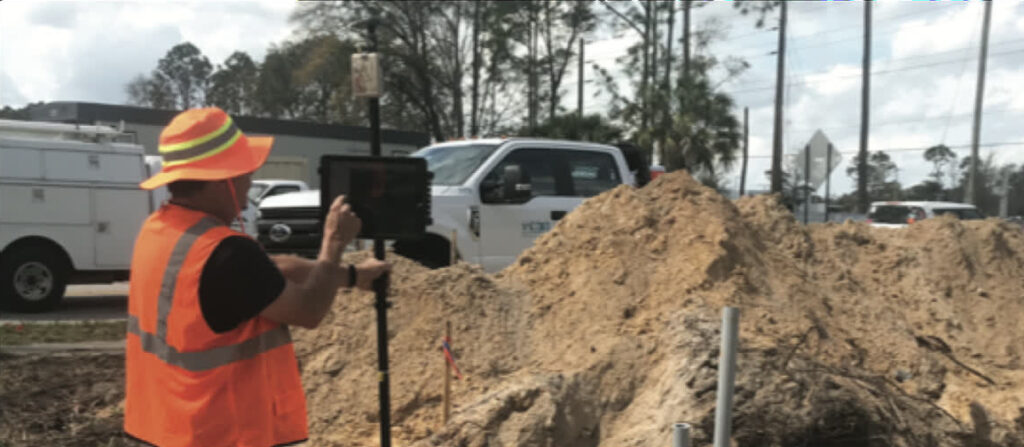 Electric Utility
New Smyrna Beach Utilities
A digital twin of assets buried in the 1970s
CAD as-builts put transformer pads "a hundred feet that way, down the road." Field crews now verify and correct the real thing, and the utility trusts its own map again.
Arrow Gold® · ArcGIS on iPad
Read the story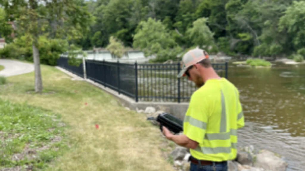 Electric Utility
Sheboygan Falls Utilities
Mapping brought back in house
Decades of hand-written as-builts went to a contractor every year. Line workers now capture the primary and secondary network themselves, and the data is usable the same day.
Arrow 100® · ArcGIS Field Maps
Read the story
Browse by type
Explore OUR PRODUCTs
Receivers, corrections, lasers and the software that ties them together.
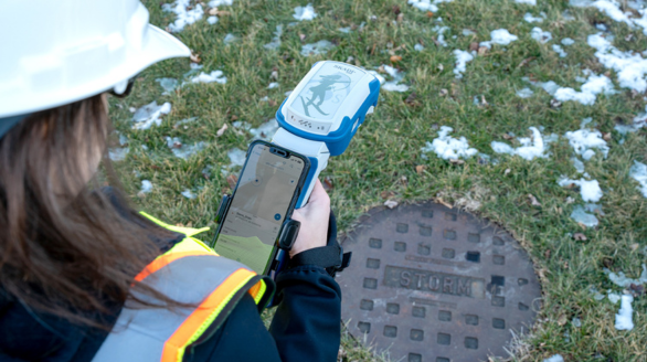 7 productsGNSS ReceiversSurvey- and mapping-grade GNSS receivers, from sub-metre to centimetre RTK.View range
 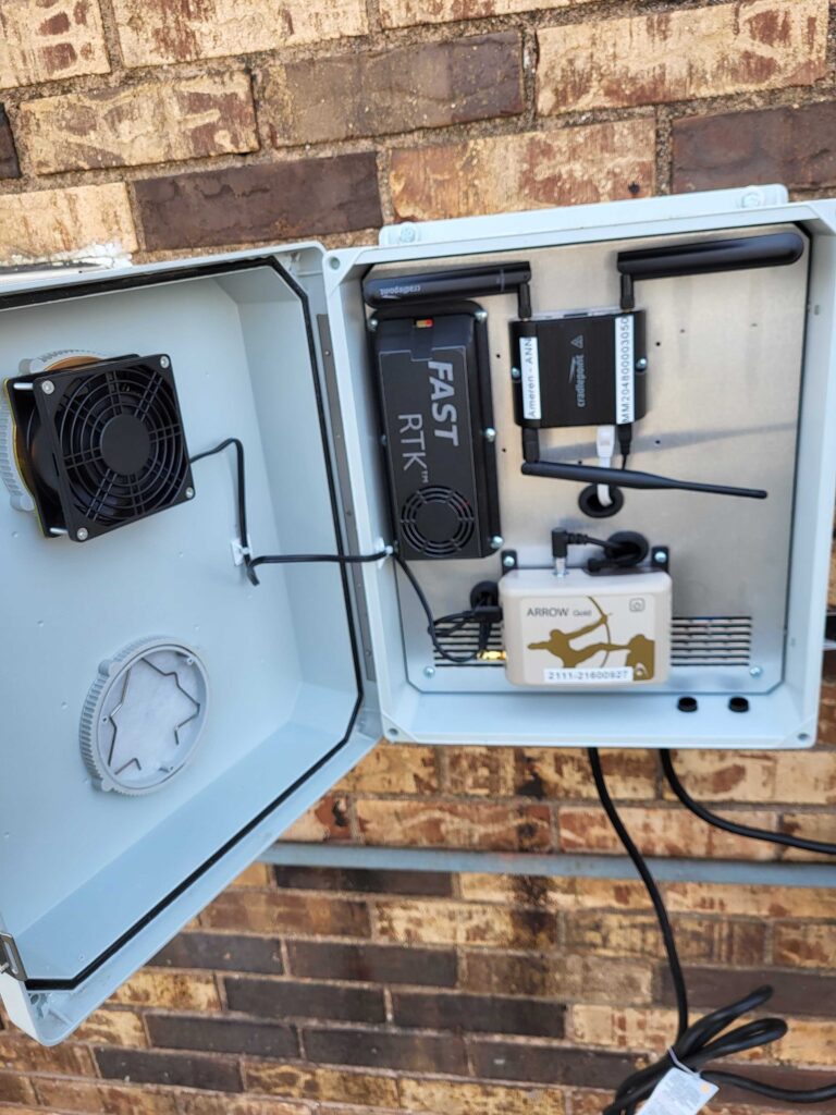 4 productsRTK Base StationsStationary and mobile RTK base stations for reliable local corrections.View range
 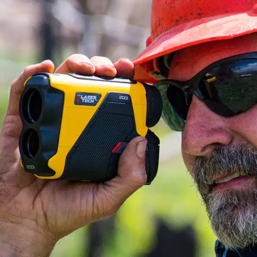 5 productsLaser RangefindersTruPulse laser rangefinders for offset measurement and inaccessible assets.View range
 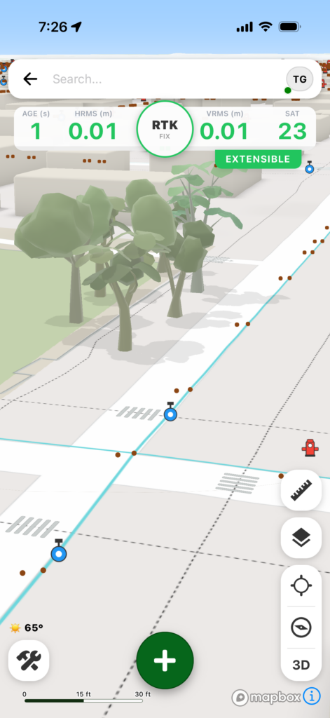 2 productsData Collection SoftwareField GIS and GNSS data-collection apps and tooling.View range